|
||||
|
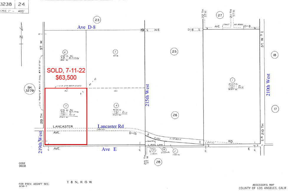
27.41Acres @ 219th West on Lancaster Rd (Ave E) |
||||
|
|
 |
|||
 |
||||
 |
||||
 |
||||
 |
||||
 |
||||
| Location- |
219th St West on Lancaster Rd | |
Area- |
NW of Lancaster | |
Acres- |
27.41 acres |
|
APN- |
3238- 24- 7 |
|
Zoning- |
A 2 2, RL 10 | |
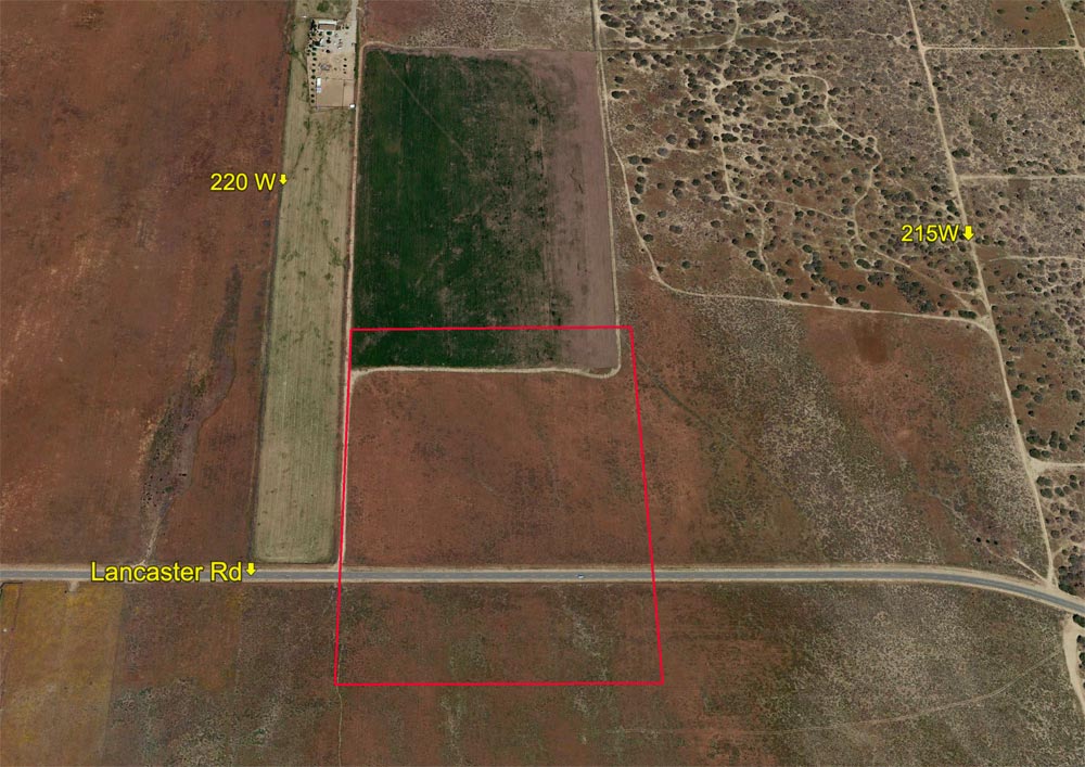
Topography- |
flat & level | |
Dimensions- |
904 ft. x 1,320 ft | |
Utilities- |
none on Lancaster Rd | |
Price- |
$68,525 ($2,500 per acre) | |
Existing Notes- |
free & clear | |
Terms- |
all cash | |
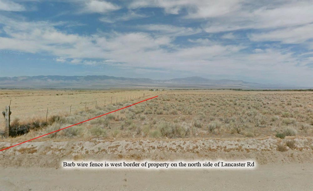
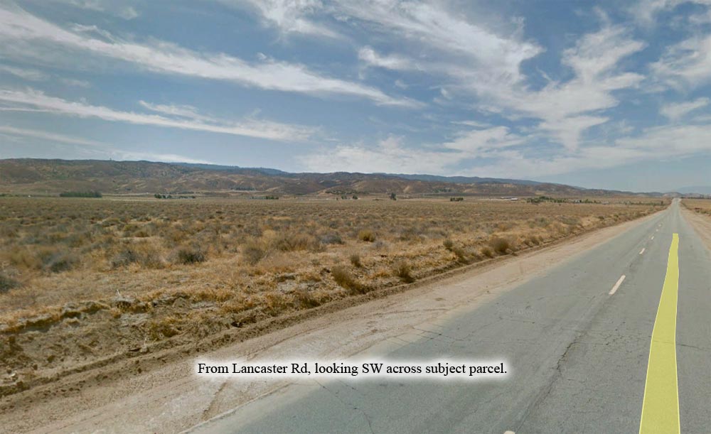
Remarks- |
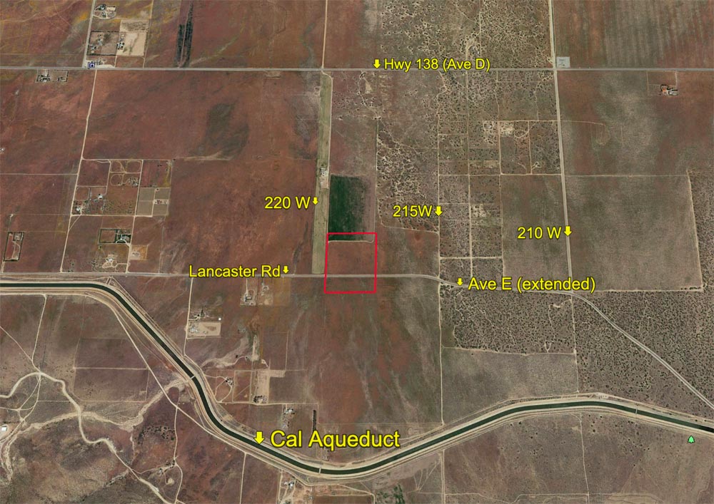
Affordable
rural acreage with over 900 feet of paved frontage on both sides of
Lancaster Rd. Lancaster Rd in this area of the valley is equivalent
to Ave E. No utilities on Lancaster Rd. One mile south of Ave D (Hwy
138). Two miles south of major solar farm at 220W & Ave C. California
Aqueduct is just 6/10 of a mile to the south; fishing allowed in some
locations. Parcel is flat. Present zoning of A 2 2 = heavy agriculture;
R R 10 = rural land, 1 dwelling per 10 acres. Affordable land banking
opportunity. A rare parcel that has paved frontage on both sides of
the street. |
|
Safety and Cautions- |
Anyone inspecting, or walking on the property, off the road, should be aware that rattlesnakes and other desert wild life could be in the area. Be careful and use common sense! | |
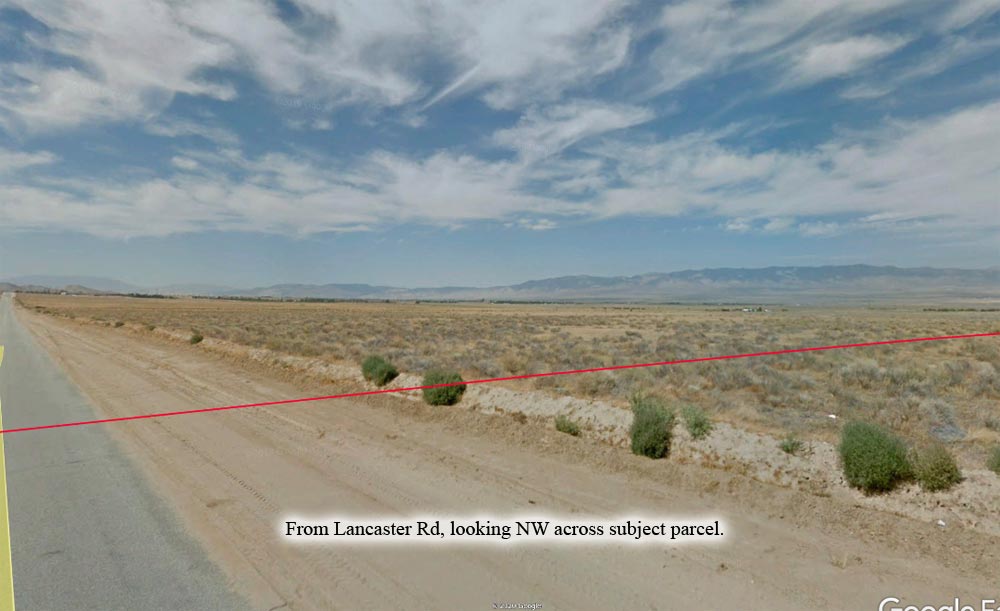
Directions to Property- |
Exit
the Freeway 14 at Ave I. Go west on Ave I for 23 + miles as Ave I winds
its way NW to Lancaster Rd (Ave E). In this area, the cross streets
do not have street signs, so use your odometer. Also look at photo 4
and use barb wire fence as a land mark. Or
you can drive to 227th West, which does have a street sign, and then
turn around and come back 7/10 of a mile which will put you at 220W. |
|